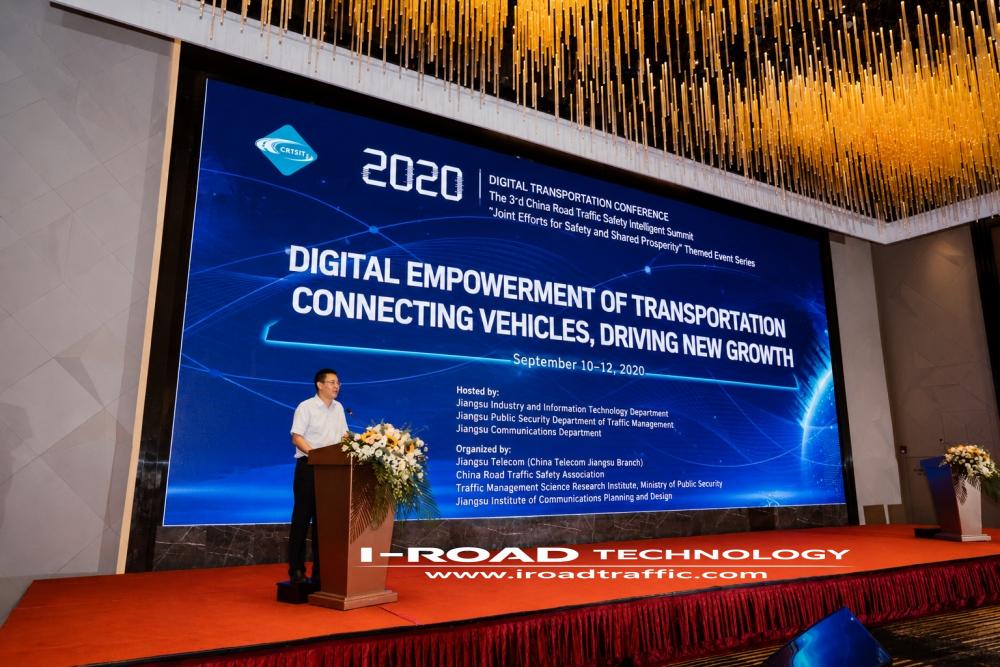

On September 11, 2020, the I-ROAD China team convened the Digital and Connected Transportation Conference and Academic Forum. Nearly 400 representatives attended, drawn from numerous government research institutions, universities, and a host of well-known internet enterprises including Baidu, Huawei, Alibaba, and Hikvision.
The conference was held against the backdrop of enabling Level 4 autonomous vehicles to travel on intelligent, connected, and digitized “smart roads”—a fitting expression of the “digital transportation” vision of the 5G era. Its goal was to bridge what had been the “most distant” gap between traffic lights and cameras, and the “even more distant” gap among signs, road markings, traffic signals, and other roadside elements, achieving genuine interconnection across the road network.

Expert presentations at the forum included the following:
“Smart Expressway Technology System” examined the development of vehicle-road coordination and autonomous driving technologies, as well as smart highway construction, addressing top-level design, the development of key technologies, application integration, and the establishment of industry access frameworks.
“Guidelines for Traffic Sign Placement on Smart Expressways” set out a definition of the smart expressway: a highway that applies technologies such as modern communications, data acquisition, intelligent sensing, the Internet of Things, cloud computing, and high-precision mapping to perceive and integrate multi-source data on vehicles, roads, environment, and events; performs online computation and decision-making at the roadside or on a cloud platform to generate strategies for traffic safety warnings, traffic flow scheduling, and route guidance; publishes these in real time; and is thereby able to serve both human and autonomous driving.
“Full-Domain Road Trajectory Data and Traffic Safety Operations Management” focused on the construction of digital infrastructure, noting that the technical application of millimeter-wave radar on expressways, together with cost control, would be rolled out comprehensively.
“Application and Discussion of a Multi-Source Integrated Spatiotemporal Event Detection System on Smart Highways” addressed the practical deployment of internet-based big data, drawing on rich and mature experience in event management across the multi-dimensional spatiotemporal context of expressways. Building on 300-line LiDAR technology, it described the construction of digitized information for a variety of expressway scenarios, forming and applying a fusion system for multi-source data.